Map design and illustration
I designed and illustrated maps for the whole series which spanned the entire English speaking world.
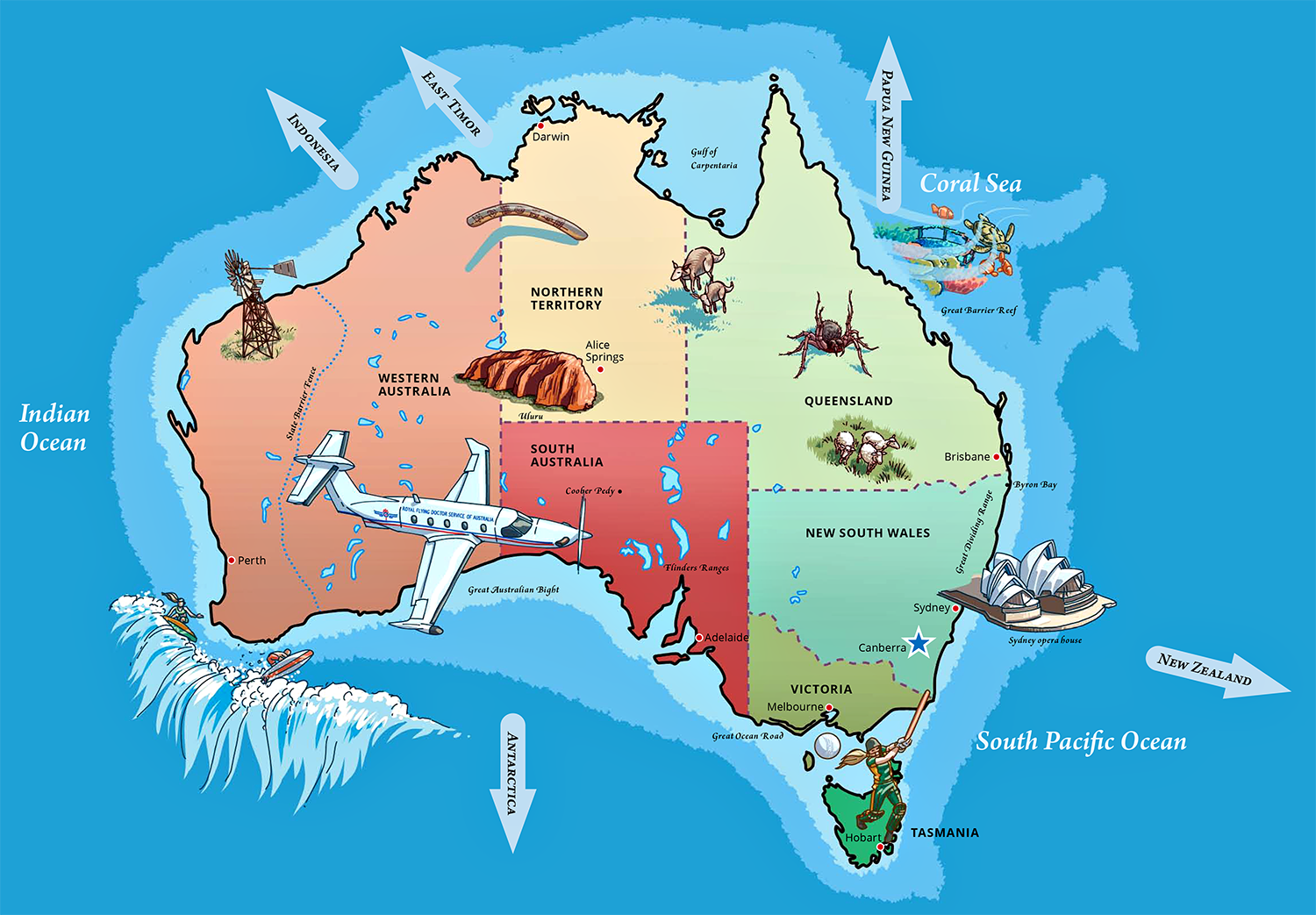
Map of Australia
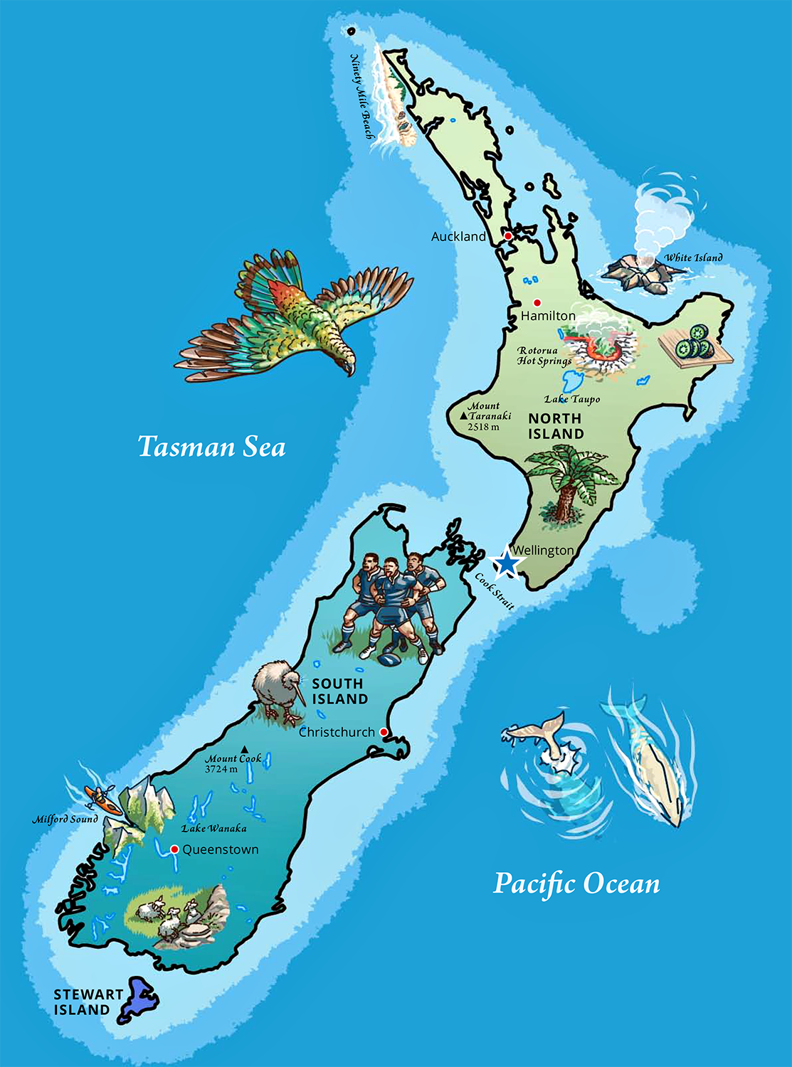
Map of New Zealand
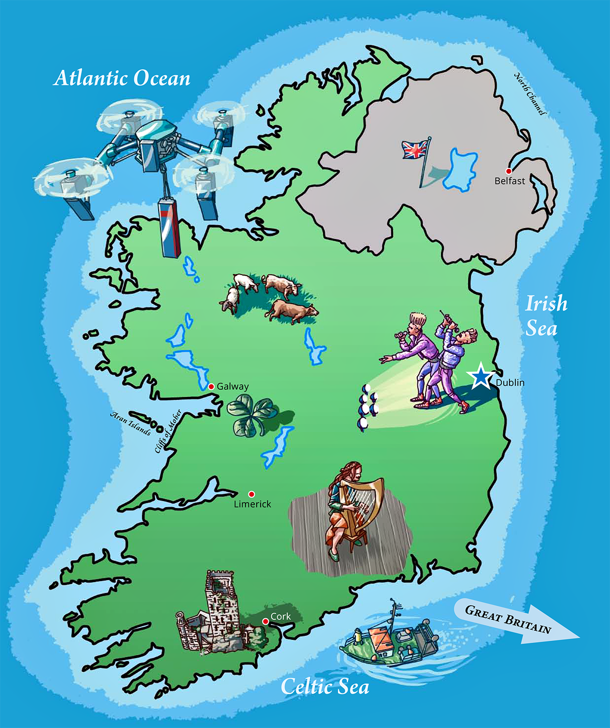
Map of Ireland
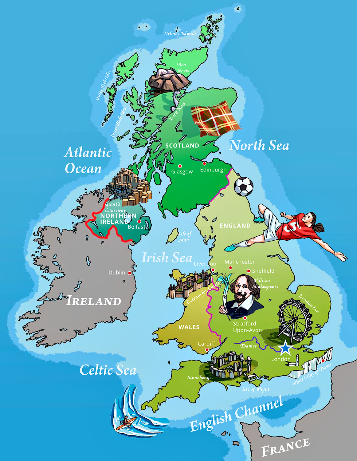
Map of the United Kingdom and Northern Ireland
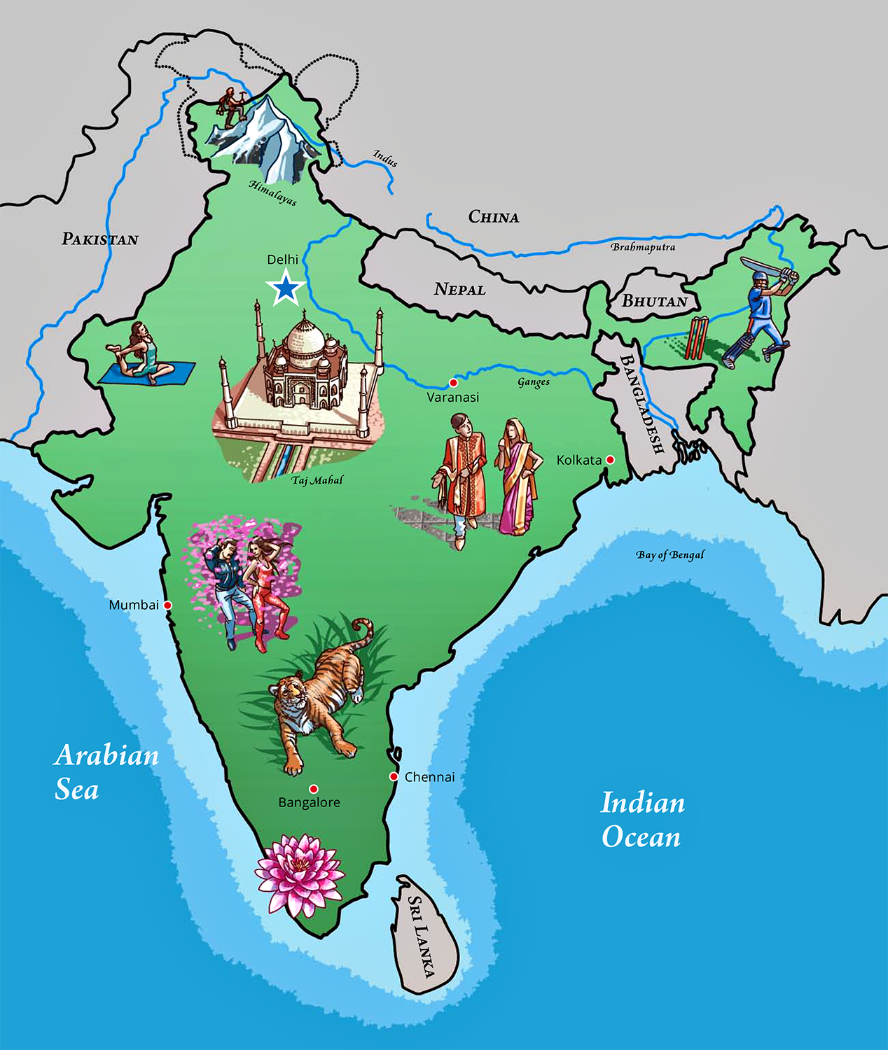
Map of India
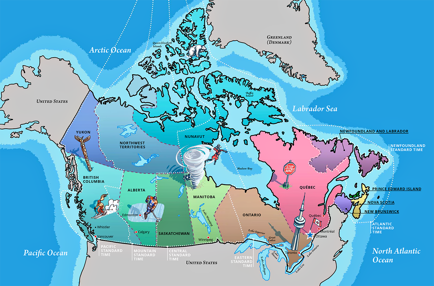
Map of Canada
Vocabulary spreads
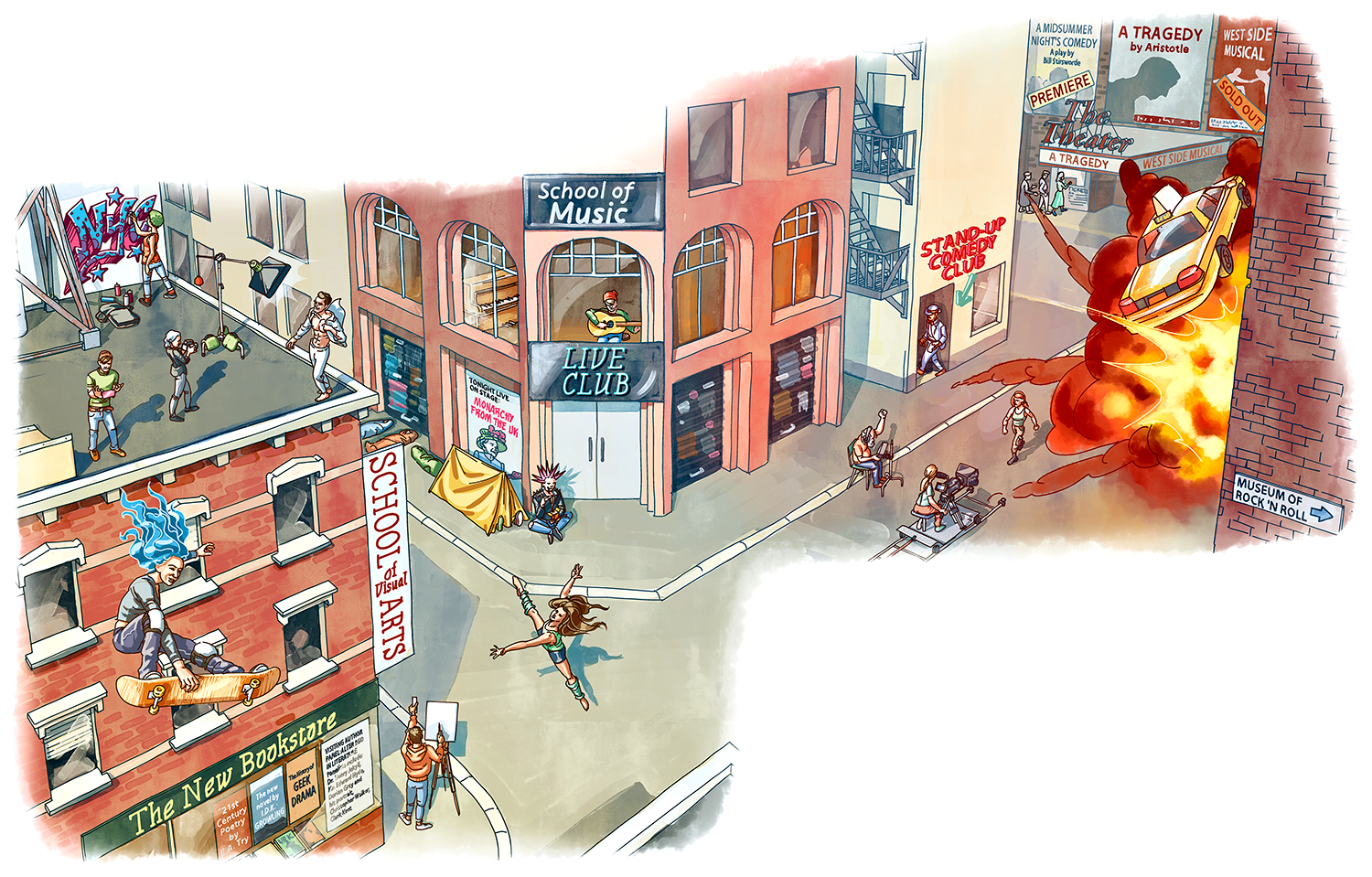
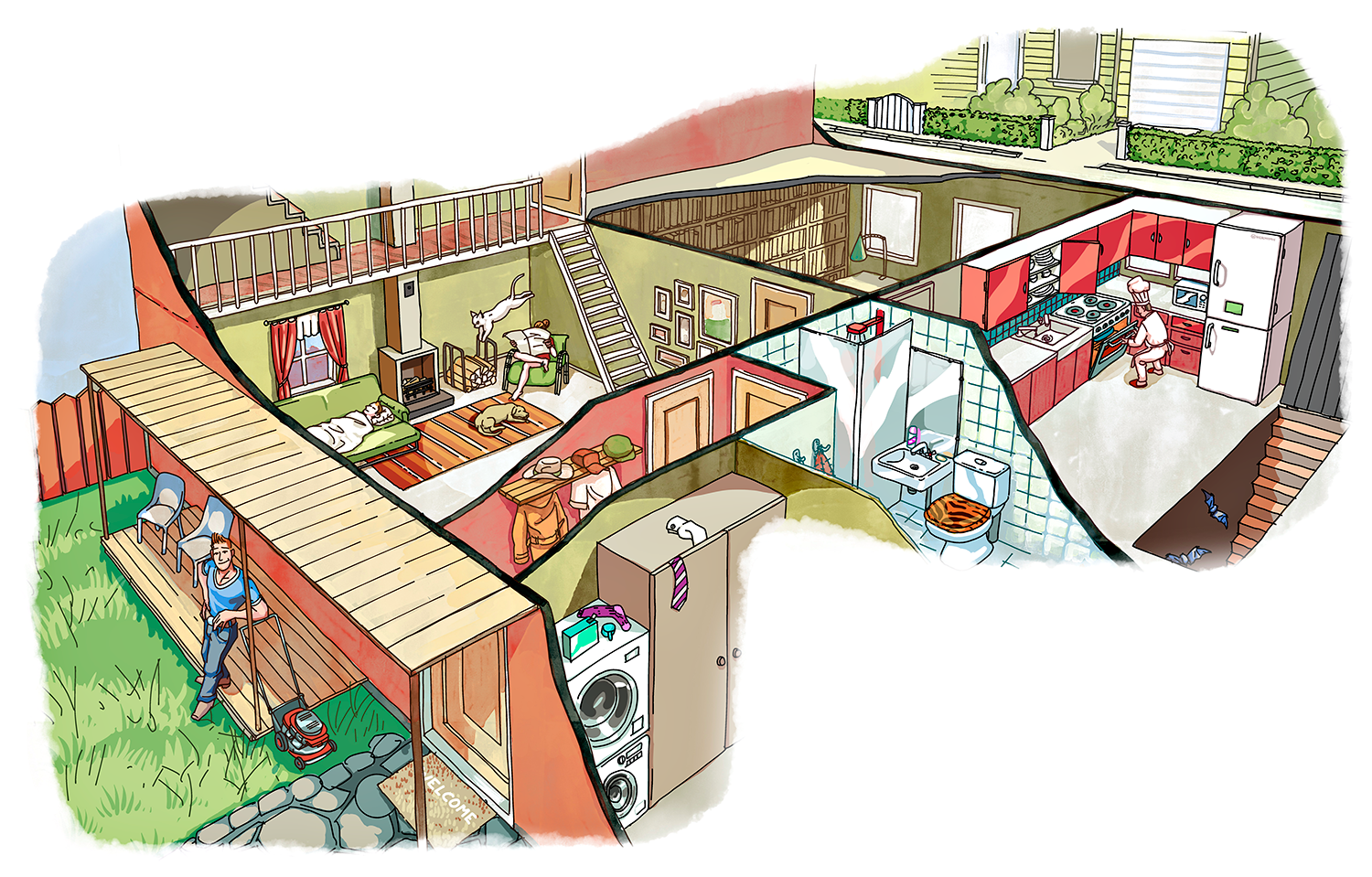
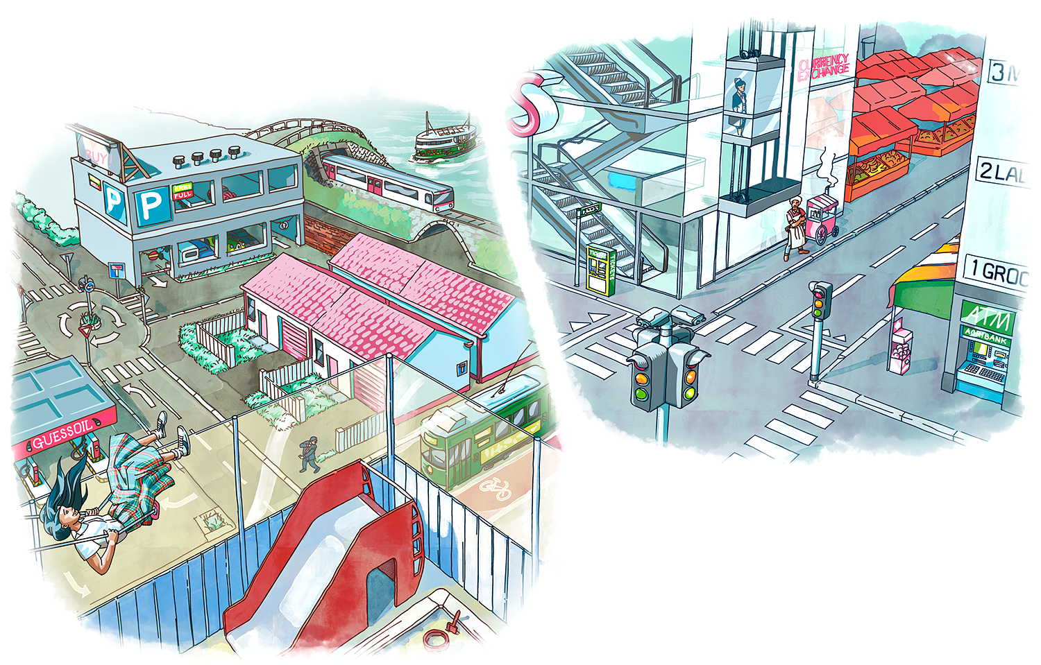
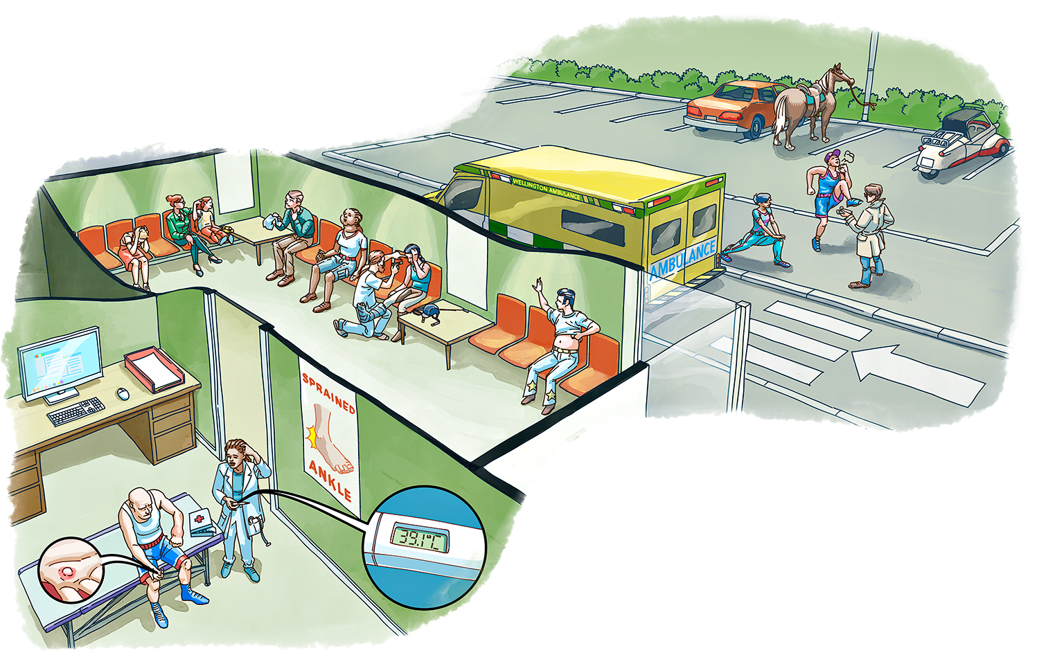
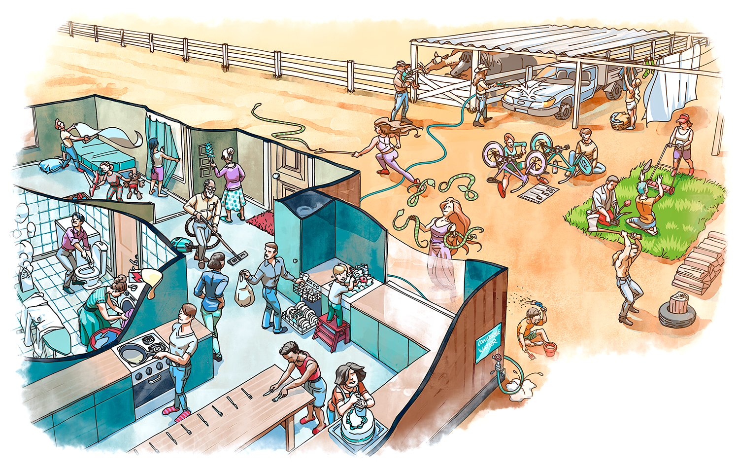
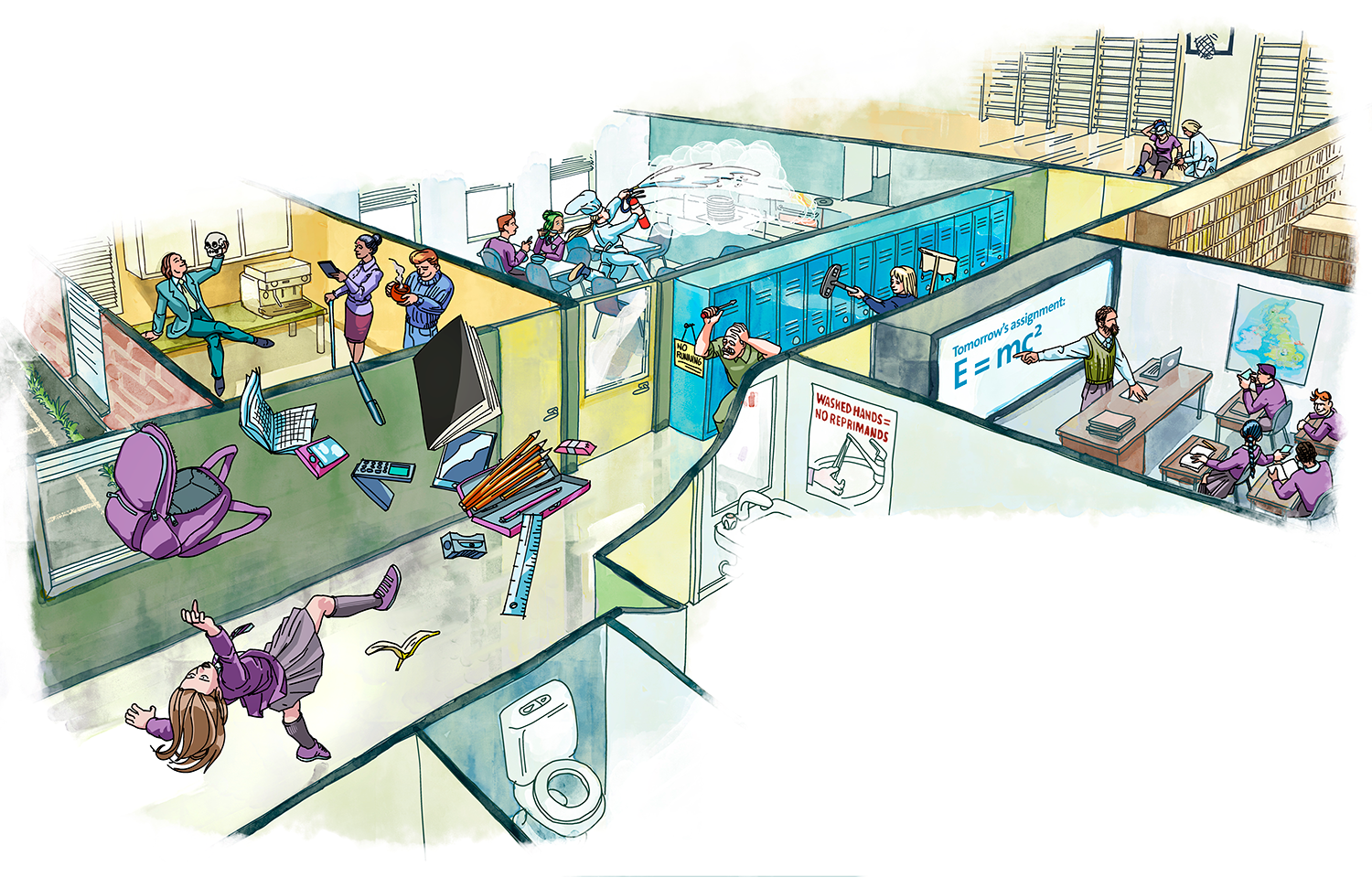
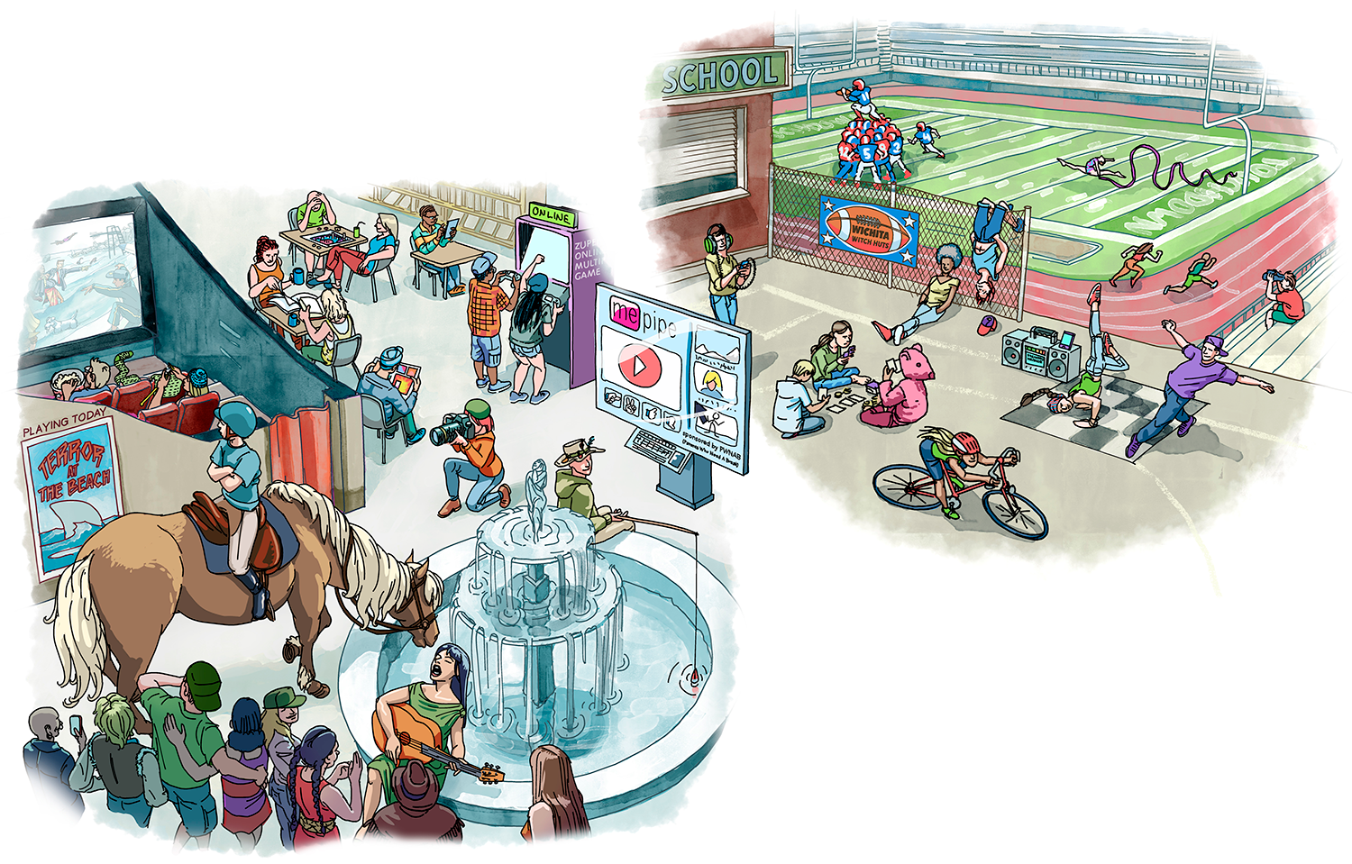
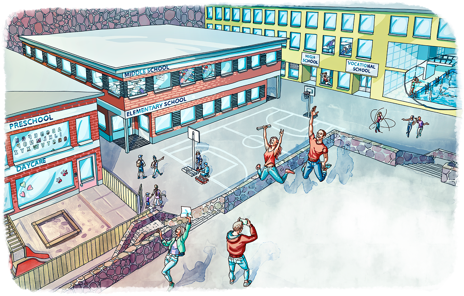
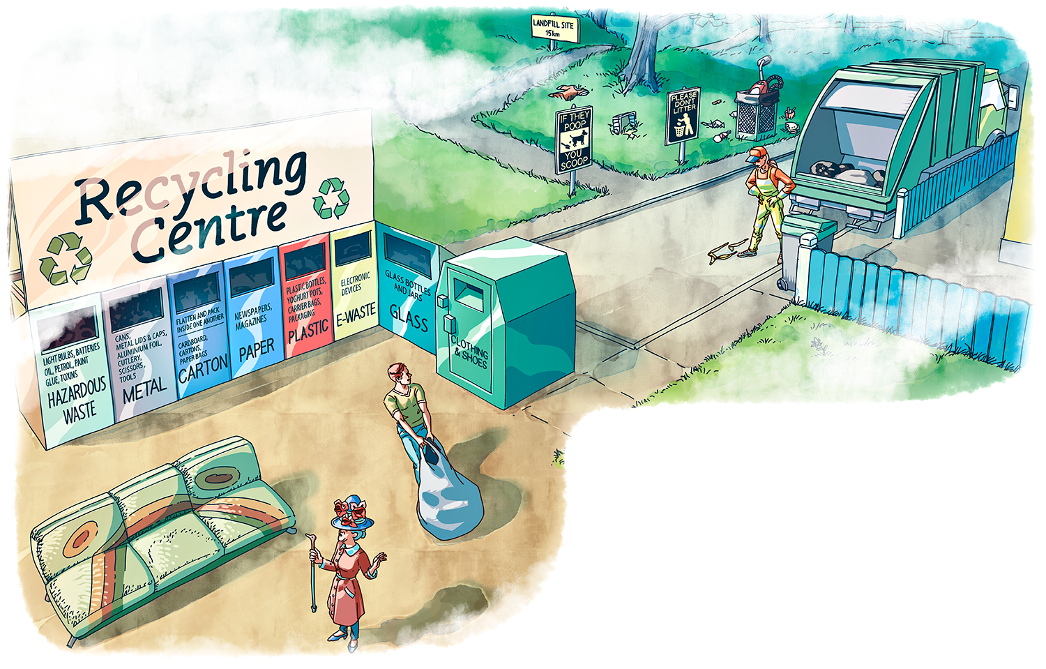
Vocabulary spreads were designed to introduce a large number of words in one go. The words share a theme but I had a lot of freedom to connect all the words into one coherent image. I love adding little easter egg details into these kinds of complex drawings.

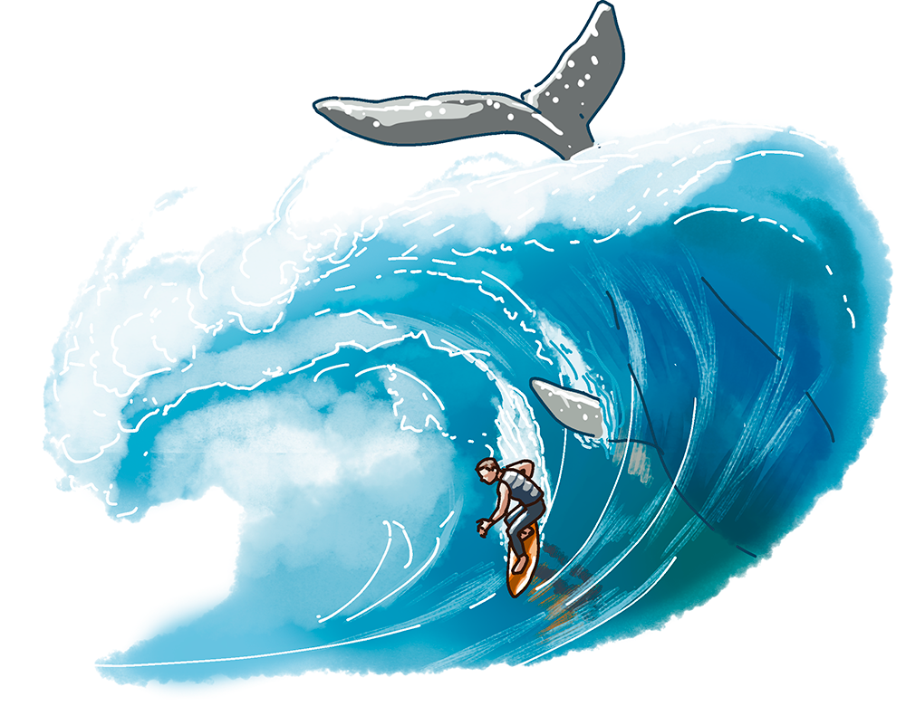
Workbook illustrations
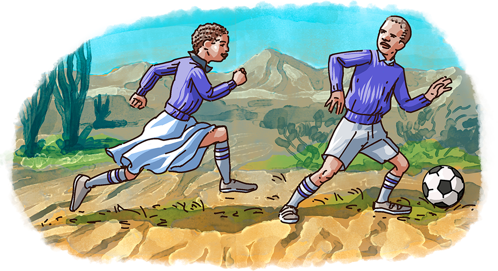
I drew 80–120 pictures for each book on a tight schedule, so for the workbook illustrations, I worked with my colleague from the same studio, Anniina Mikama. She did preliminary sketches for many of these images and having that framework to go on sped up my workflow quite a bit. The workbook images were either black and white or with a spot color on a separate layer. Sanoma Pro chose the spot color later for each book, but I have unified the look for presentation here. The headline type is also for presentation, it is not in the book.
A collection of famous landmarks or views from around the English-speaking world
Illustrations for a listening exercise about a safari in South Africa
Various characters in the books and portraits of Malala Yousafzai and Moziah Bridges
A writing task, fill in the speech bubbles with your own lines
Illustrations for a listening exercise, a story about the effects of bullying
How to create an infographic

Customs problems

How to survive an earthquake
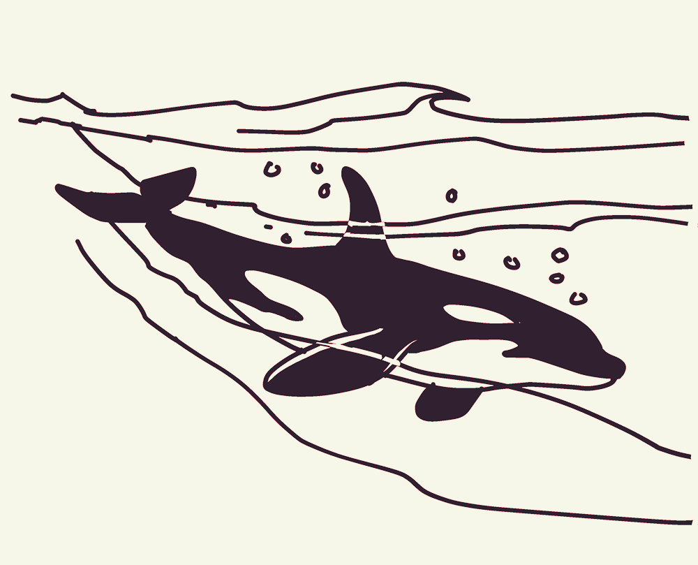
An orca
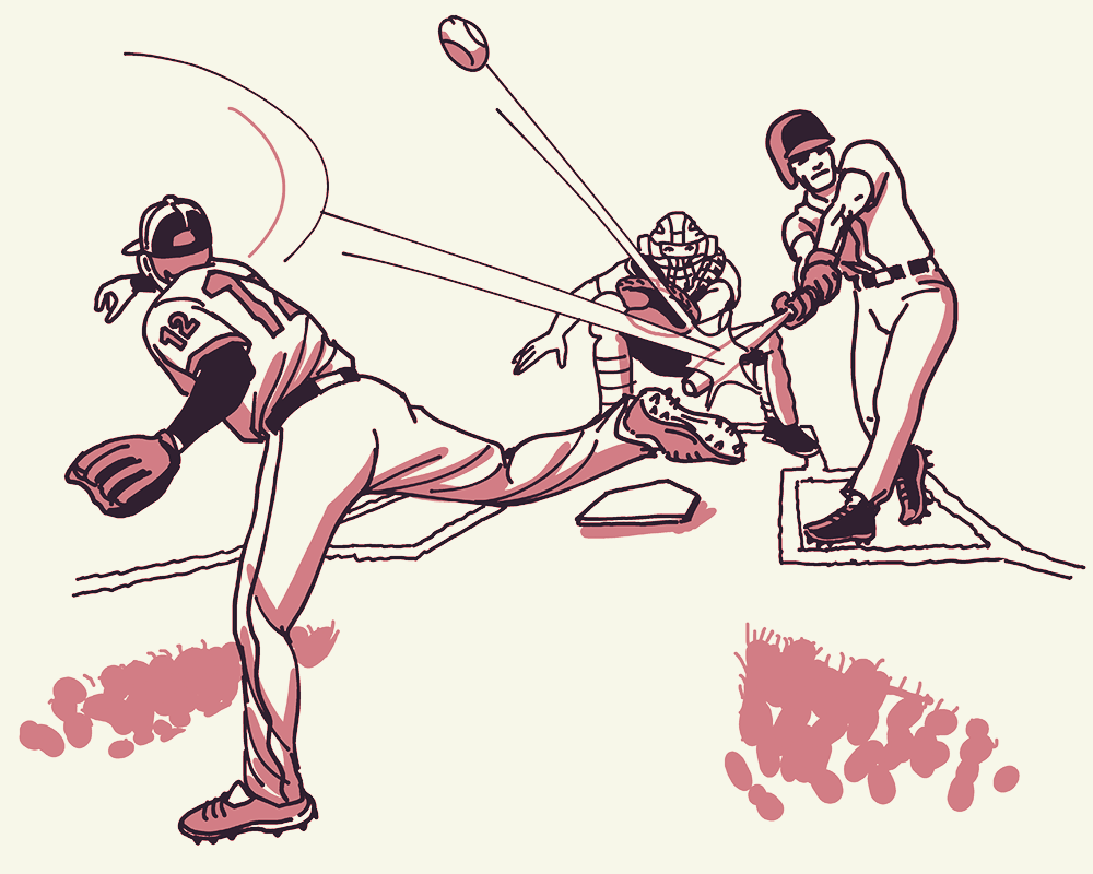
Baseball

Popcorn
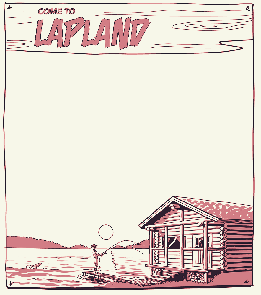
Write your own travel ad for Lapland

Irish countryside

Idiom: Grab a bull by the horns

Proverb: The early bird catches the worm

Australian general store
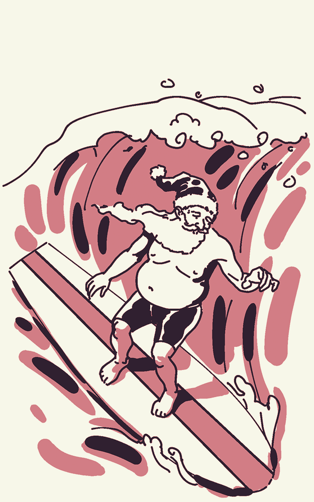
Santa Claus in Australia
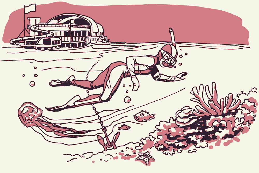
Words related to swimming
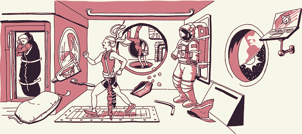
Words related to the International Space Station
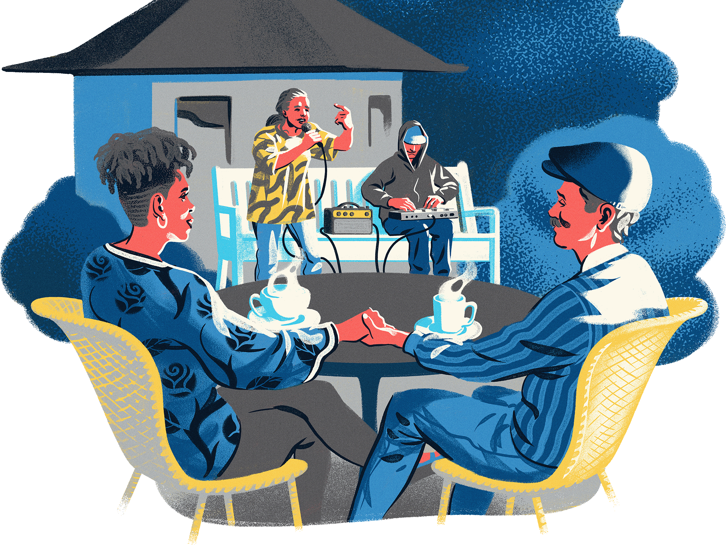
Roseville Grandparents

